IMPRESSIONS
SEA WALL
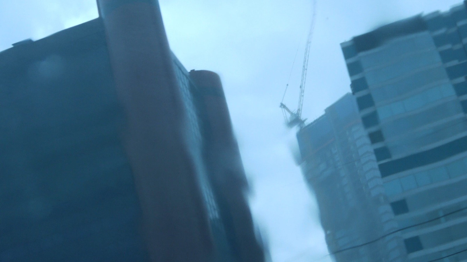
FILM// Impressionen: SEA WALL // 15th June 2024 // by AMBER THEISEN
IMPRESSIONS is a collection of short films showcasing the different locations encountered within the exchange of connecting ecosystems. Since the shots are from the teams material, the collection is not an objective documentation project, but a gathering of (personal) visual impressions.
When we first arrived in Jakarta, in the beginning of November, we brought the first rain of the season with us. Heavy thick drops pattered intensely from the clouds and within minutes the streets were filled knee high.
Jakarta has been growing fast since the independence of Indonesia in 1945. Five years later, around 1.5 Million people lived here, now the mega city counts over 11 Million citizens covering an area of approximately 660 square kilometers. Located directly at the coast, the city has been fighting flooding yearly. It is the fastest sinking city in the world.
The reports published by Bandung Institute of Technology state that over 95% of North Jakarta will be drowned by 2050. The northern part of the city is at highest risk: It has already fallen 2.5 meters in the last 10 years and continues to sink 25 centimeters with each passing year.
The reason why Jakarta is sinking seems too easy to pinpoint: climate change. Located in a low alluvial plain with 13 rivers flowing across it and facing rising sea levels, it’s the simple explanation. However, the changing climate is not responsible for the whole picture. The city is also sinking due to it´s colonial legacy impacting ongoing social issues of fresh water access.
When the dutch occupied the city in the 16th century, they constructed with “Batavia” (name under colonial rule) a harbor after the image of Amsterdam. The implemented canals were thought to ease the transportation of goods into the city and to racially divide the inhabitants of the area. Two urban centers (West and East) were created.
While the canals might have been a smart solution in the Netherlands, they did not stand the test of time in the Indonesian climate. Due to the humidity and earthquakes they deteriorated over time, leaving the water flow to stagnate, which created a breeding ground for epidemic diseases. To flee from the sicknessess spreading among the kampungs (=traditional villages) the Dutch moved into the South of the city, where they built iron pipes to supply fresh water, leaving the local settlements to bacteria-infested canals. In the need of drinkable water at minimal costs, groundwater became the quick solution spreading around the city building thousands of informal wells.
Nowadays, around half of the city does not have access to piped water and still relies on illegal extraction of groundwater by public and private companies.
Additionally, the wetlands of this coastal area have been transformed bit by bit into the concrete jungle the city is today, blocking the rain fall from refilling the soil. Taking away the groundwater while putting more and more concrete on the surface increases the risks of the land diminishing, compacting, collapsing and finally sinking.
To deal with the floods, the National Capital Integrated Coastal Development Programme was introduced in 2014. The programme includes the construction of 17 artificial islands acting as additional sea barriers and a 32 km long sea wall along the northern city.
The satellite islands might be non-existing at the moment but the plans of the more than 40 Billion US Dollar infrastructure has invited Dutch investors and Indonesian real estate giants to invest in luxurious dream-landscape littered with yacht harbors, golf courses and luscious condos. The artificial island formation is named Great Geruda after the national symbol of the giant mythological bird – the “protector” of the people. The programme has been strongly critiqued over the years. Each argument concludes in the same statement: that the planned measures are symptoms of the problematic view on the environment which consequences it tries to fix, only leading to more disasters.
Building artificial islands not only destroys the sea life the constructions are built upon, it also requires a lot of sand, which is usually mined from the sea ground in the surrounding area. The Ministry of Maritime Affairs and Fisheries (KKP) estimated in 2021 the reclamation project would need 388.200.000 cubic meters of sand, which could lead to the destruction of the ecosystems in the northern coast of Java, also further boosting the decline of mangrove forests. Today, mangrove ecosystems are revalued as the natural barrier to the sea and carbon storage. Before the occupation and industrialisation of Java, the northern coast was covered in mangrove forests. And before the reclamation project started, around 1000 hectares north of Jakarta were left. Now it’s no more than 25 hectares, despite many efforts to bring the mangroves back.
Friends of ours took us to the part of the wall that was already constructed. It was a long car ride in the heavy rain. We were talking about the programme to prevent the sinking of the city and its social and political implications. All this talk led me to imagine a big and heavy wall, futuristically neat in construction. When we arrived the experience was different. The area was filled with small housing compartments constructed of corrugated iron, the heavy smell of fish and a noticeable amount of waste. And there was the wall. Not thick. Not big. Not long. Covered in graffiti, blocking the view towards the sea. You could climb up on it on your own with a bit of effort. And from that perspective it was clearly visible: the wall looked crooked – fragile even. Just thick enough so that the action of walking on it would be better described as a balancing act. We did not dare to do so.
QUELLEN
https://www.re-thinkingthefuture.com/architectural-community/a9786-why-is-jakarta-sinking/
https://www.salienceatsydney.org/blog/2021/08/24/segregation-a-sinking-city-muddied-by-a-colonial-legacy/